
In this guide
Understanding Flood Zones and Recent Map Revisions
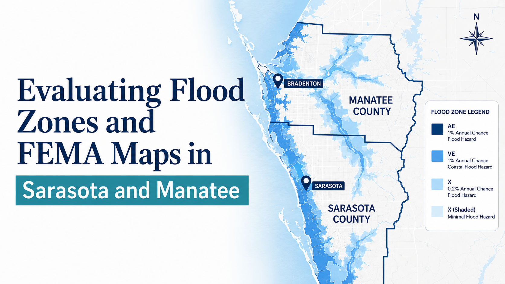
For out-of-state buyers relocating to the Florida Gulf Coast, evaluating flood risk begins with understanding official FEMA Flood Insurance Rate Maps (FIRMs). These maps designate Special Flood Hazard Areas (SFHAs)—defined as areas with a 1 percent annual chance of flooding—using zones that start with the letters A and V. Land located outside the high-risk SFHA is designated as Zone X.
Flood boundaries are not static. On March 27, 2024, FEMA issued updated flood maps for Sarasota County, revising Base Flood Elevations (BFEs) and altering floodplain boundaries across the region based on updated coastal and stormwater flood modeling. Additionally, Sarasota County enforces a mandatory +1 foot freeboard standard above the BFE in Zone AE, establishing higher building elevation requirements for new construction and substantial improvements.
| Zone Designation | Risk Category | Description |
|---|---|---|
| Zone V / VE | Special Flood Hazard Area (SFHA) | High-risk coastal areas subject to additional hazards from storm-induced wave action. |
| Zone A / AE | Special Flood Hazard Area (SFHA) | High-risk areas subject to inundation by 1-percent-annual-chance flood events; AE zones include defined BFEs. |
| Zone X | Outside SFHA | Areas of moderate or minimal flood risk; outside mandatory federal purchase zones. |
Risk Rating 2.0: Beyond Static Flood Zones
Historically, flood insurance rates through the National Flood Insurance Program (NFIP) were calculated primarily using broad map zones and base flood elevations. Under FEMA’s Risk Rating 2.0 methodology, which went into effect for all existing NFIP policyholders on April 1, 2022, insurance premiums are calculated on a property-by-property basis.
Rather than relying solely on FIRM lines, Risk Rating 2.0 incorporates specific structural and environmental variables:
- Proximity to water: Distance to coastal waters or inland flood sources.
- Building and foundation elevation: Structural height relative to surrounding ground and flood sources.
- Full replacement cost: The actual cost to rebuild the structure.
- Flooding frequency and rainfall: Local propensity for excessive rainfall and coastal flooding events.
- Claims history: Number of prior flood claims filed for the property.
Elevation Certificates and County Requirements
An Elevation Certificate (EC) is an administrative tool that documents the elevation of a building’s lowest habitable floor relative to the Base Flood Elevation. In Manatee County, structures located in a Special Flood Hazard Area with construction starting after January 1, 1975, require an Elevation Certificate to verify compliance with minimum elevation requirements.
Elevation Certificates serve critical functions during pre-purchase due diligence:
- Insurance Rating: ECs can demonstrate that a structure is elevated above the modeled flood elevation, potentially supporting lower premium calculations.
- Permitting Compliance: Local building divisions require ECs to evaluate proposed additions, renovations, or substantial improvements under FEMA floodplain regulations.
- Letters of Map Amendment (LOMA): If certified elevation data proves that a structure sits on natural ground above the BFE, owners can submit a LOMA request to FEMA at no charge to remove mandatory flood insurance purchase requirements.
Pre-Offer Flood and Insurance Due Diligence
Before executing a purchase contract on Gulf Coast waterfront property, out-of-state buyers should complete a structured verification process to evaluate total cost of ownership and risk exposure.
Waterfront Buyer Pre-Offer Verification Steps
- Search the official FEMA Flood Map Service Center to identify current FIRM panel status, effective dates, and zone designations.
- Request the property's existing Elevation Certificate from the seller or check municipal records (such as Manatee County Records Management for post-1975 structures).
- Check for municipal freeboard requirements (+1 foot in Sarasota County Zone AE) if planning future renovations or new construction.
- Obtain a property-specific flood insurance quote using the home's specific foundation type, elevation, and full replacement cost.
- Verify whether current insurance policies are transferable to maintain existing premium glidepaths under statutory cap protections.
Peggy's Expert Takeaways
Related Seaside Resources
See the relocation guides if you are moving to the Gulf Coast from out of state. See the waterfront homes we currently represent if you want to see how these trade-offs look on real Gulf Coast inventory. See the how we work with buyers and sellers if you want the representation side spelled out. See the Coastal Insights library for the rest of the series.
Frequently asked questions
Where can I find the official FEMA flood map for a Sarasota or Manatee property?
Official Flood Insurance Rate Maps can be viewed online through the FEMA Flood Map Service Center (msc.fema.gov) or through local county geographic information systems and floodplain management departments.
Does buying in Zone X mean flood insurance is never required?
Federally regulated mortgage lenders do not mandate flood insurance in Zone X. However, flood insurance remains available, and properties in Zone X can still experience flooding from severe rainfall or storm events.
How can I obtain a copy of an existing Elevation Certificate in Manatee County?
For structures built in a Special Flood Hazard Area after January 1, 1975, Elevation Certificates may be on file with the Manatee County Development Services Department Records Management division.